Riverbank ▲ 620 m
Qingyi River Viewpoint
Riding into Ya'an, the rain city, you reach the Qingyi River around 620 m — misty and dreamlike, where the damp mountain air first settles on your face.
Day 1 · Setting Out · Chengdu →The 318 keeps crossing water: the turquoise of Rawu Lake and the Sister Lakes, the glacier-fed Parlung Tsangpo, the Jinsha and Lancang boundary rivers, and real spans like the Luding chain bridge and the Tongmai mega-bridge. Here are 14 of these water stops in Cycling 318, in route order.
Riding into Ya'an, the rain city, you reach the Qingyi River around 620 m — misty and dreamlike, where the damp mountain air first settles on your face.
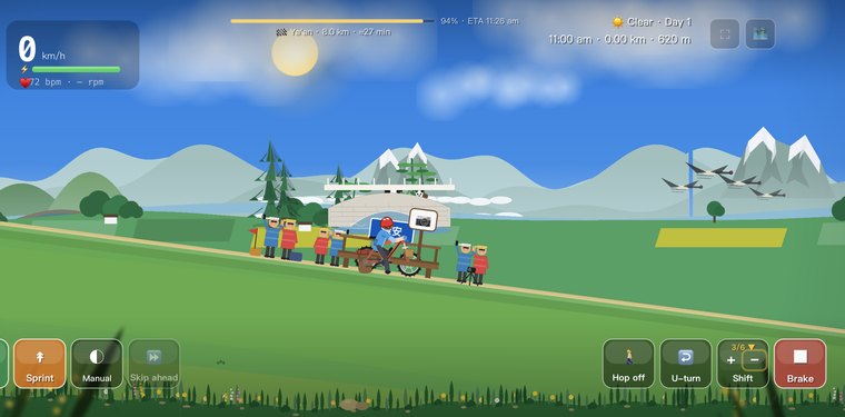
Day 1 · Setting Out · Chengdu →
Out of the tunnel and over a small rise near 2,245 m, the Dadu River canyon opens out below the west slope — the start of the long descent toward Luding.
Day 4 · The Dadu River · Luding Bridge →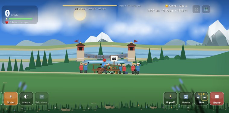
"Cold iron chains span the Dadu" — at around 1,330 m, the famous 18th-century Luding Bridge carries thirteen chains and planks over the roaring river, one of the most storied crossings in China.
Day 4 · The Dadu River · Luding Bridge →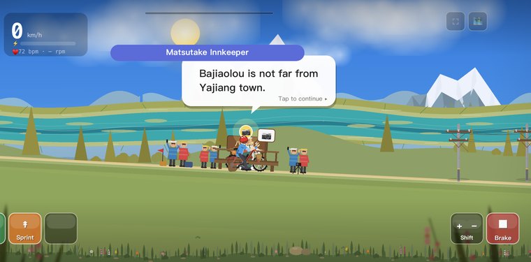
After a long descent the road drops to Bajiaolou township at about 2,890 m, where Tibetan villages, matsutake-mushroom hamlets and the valley road all gather into one frame.
Day 7 · Gaoersi Pass · Gongga in Sight →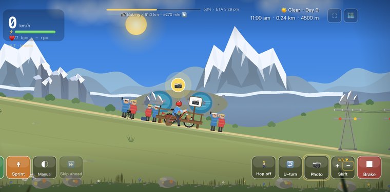
Three kilometres past Haizi Pass, look back at two pools of mirror-still turquoise around 4,350 m — the Sister Lakes below Haizi Mountain, the most famous pair of eyes on the whole Sichuan–Tibet road.
Day 9 · Sister Lakes · the Long Drop to Batang →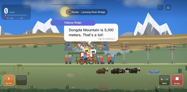
At the small town of Rumei around 2,645 m the Lancang River makes a sharp bend, and the bridge here spans water that flows on to become the Mekong of Southeast Asia.
Day 11 · Dongda Pass 5130 · Zogong →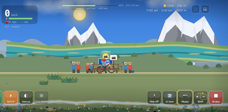
The Yuqu River curls past the village of Tiantuo around 3,930 m, with an old monastery and grazing herds gathered along the water — a quiet, gentle riverside scene.
Day 12 · The Yuqu River · Bangda Grassland →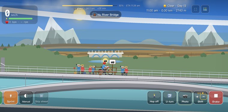
At the Nu River Bridge Memorial, the old bridge pier still stands in midstream to honour the soldiers who died building it — and every passing vehicle sounds its horn in salute.
Day 13 · Yela Pass · the Nu River 72 Bends →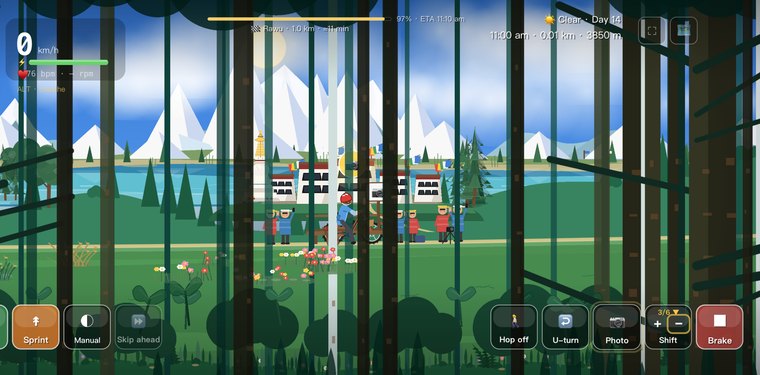
From the Rawu Lake Viewpoint at about 3,960 m, snow peaks tip straight into a glacier-fed ribbon of turquoise water — one of the most beautiful lakes on the plateau, with mirror-still reflections on calm days.
Day 14 · Anjula Pass · Rawu Lake →
The Midui Glacier Viewpoint at about 3,800 m faces an ice tongue tumbling straight down into the forest, with the glacial lake glowing a deep blue below — often called China's most beautiful glacier.
Day 15 · Midui Glacier · the Parlung Tsangpo →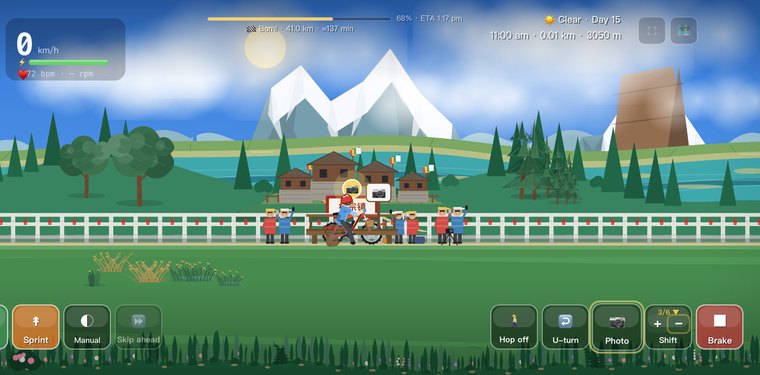
At the Parlung Tsangpo Viewpoint, the milky glacial river runs alongside the road through deep green valleys — its rushing water is the soundtrack of this whole leg toward Bomi.
Day 15 · Midui Glacier · the Parlung Tsangpo →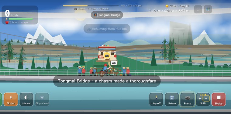
The Tongmai Mega Bridge Viewpoint spans what was once the most dangerous stretch of 318 — the old "Tongmai graveyard," where ten kilometres took two hours. Now the bridge flies across the gorge and the danger has become the view.
Day 16 · Tongmai · the Lulang Forest →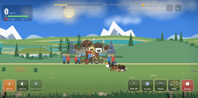
The Niyang River Scenic Belt around 3,185 m follows the clear blue-green Niyang as it slips past Genzhang along old Route 318, cattle and sheep grazing easy on the midstream sandbars.
Day 18 · The Niyang River · Gongbo’gyamda →
At about 3,500 m, the Midstream Pillar Viewpoint looks onto a lone boulder that has split the rushing Niyang River for a thousand years — said to be Kongpo's guardian stone.
Day 19 · Midstream Pillar · Songduo →